MAPPING
Your Garmin Alpha 300i Dog Tracking Device comes pre-installed with Garmin TopoActive (Europe) Mapping. It also has the facility to download your favourite areas of satellite imagery direct to your device with no subscription required, all of which can be done from the menu within your handset providing you have a wifi connection.
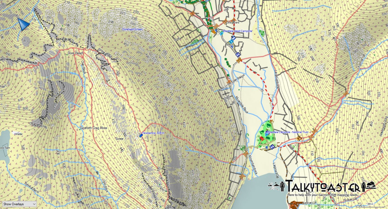
With the 300i you also have the ability to download or add via SD cards third party mapping applications, such as Ordnance Survey and many others. However our absolute favourite and thoroughly recommended because we use them week in, week out often overlaid on Garmin satellite imagery are those offered by a UK company called Talkytoaster. Talktoaster maps are excellent value for money and they offer amazing support and service, with different options of how to install them to your device. Please see an example below and for more information about all the maps they have available (not just for the UK), and to purchase or find out more please click on this link: shop.talkytoaster.me.uk/shop?source=6DSH
With the 300i you also have the ability to download or add via SD cards third party mapping applications, such as Ordnance Survey and many others. However our absolute favourite and thoroughly recommended because we use them week in, week out often overlaid on Garmin satellite imagery are those offered by a UK company called Talkytoaster. Talktoaster maps are excellent value for money and they offer amazing support and service, with different options of how to install them to your device. Please see an example below and for more information about all the maps they have available (not just for the UK), and to purchase or find out more please click on this link: shop.talkytoaster.me.uk/shop?source=6DSH
