Deer Tracking Services
Home
Tracking Service
Training ▼
Training Days
Book Training Day
Accommodation
Training Videos
Deer Stalking Opportunities
EVENTS & BOOKING
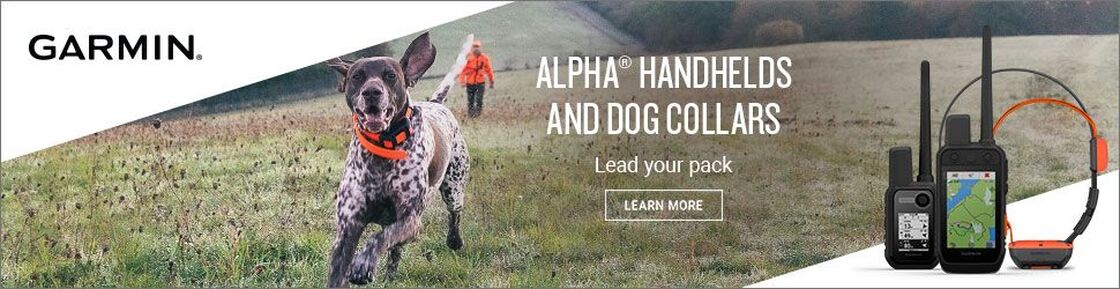
Garmin®
Store
Contact
Comments/Reviews
Podcast
Newsletter Signup
Candidates Members Area
Links
Deer Management
Terms, Conditions & Delivery
Trustpilot
HANDSETS & COLLARS
CHRONOGRAPH
ACCESSORIES
DOWNLOADS
MAPS
VIDEOS
If you need any further information as to which would be the right device for you, please contact us for more information. We're always happy to help and give advice as we use all of these products when hunting, working and training our dogs.
Home
Tracking Service
Training ▼
Training Days
Book Training Day
Accommodation
Training Videos
Deer Stalking Opportunities
EVENTS & BOOKING
Garmin®
Store
Contact
Comments/Reviews
Podcast
Newsletter Signup
Candidates Members Area
Links
Deer Management
Terms, Conditions & Delivery